THE RIVER TWINS / GEOGRAPHIC EDITION

Real places.
A new dimension.

Step into three river landscapes. Explore sourced terrain, mapped structures and the places behind the photographs.

FIELD EDITIONS03RIVERS, IN PERSPECTIVE
Bringing Mondego into view.Loading retained geography and surface imagery
STATIC GEOGRAPHIC RECONSTRUCTION

MondegoCoimbra / Portugal

Loading source geometryDrag to orbit · Scroll to zoom · Select a feature

A PLACE, BEFORE AN INTERPRETATION

The river and the hillside city.

These scenes follow actual geographic source geometry. The terrain, river outlines and mapped footprints are retained with their sources. Facades, missing heights, tree shapes and water shimmer are visual approximations.

—reach window—mapped footprints—mapped tree points

A static reconstruction supports exploration. Live water levels, bathymetry, flow, exact facades and historical camera positions are not available in this model.

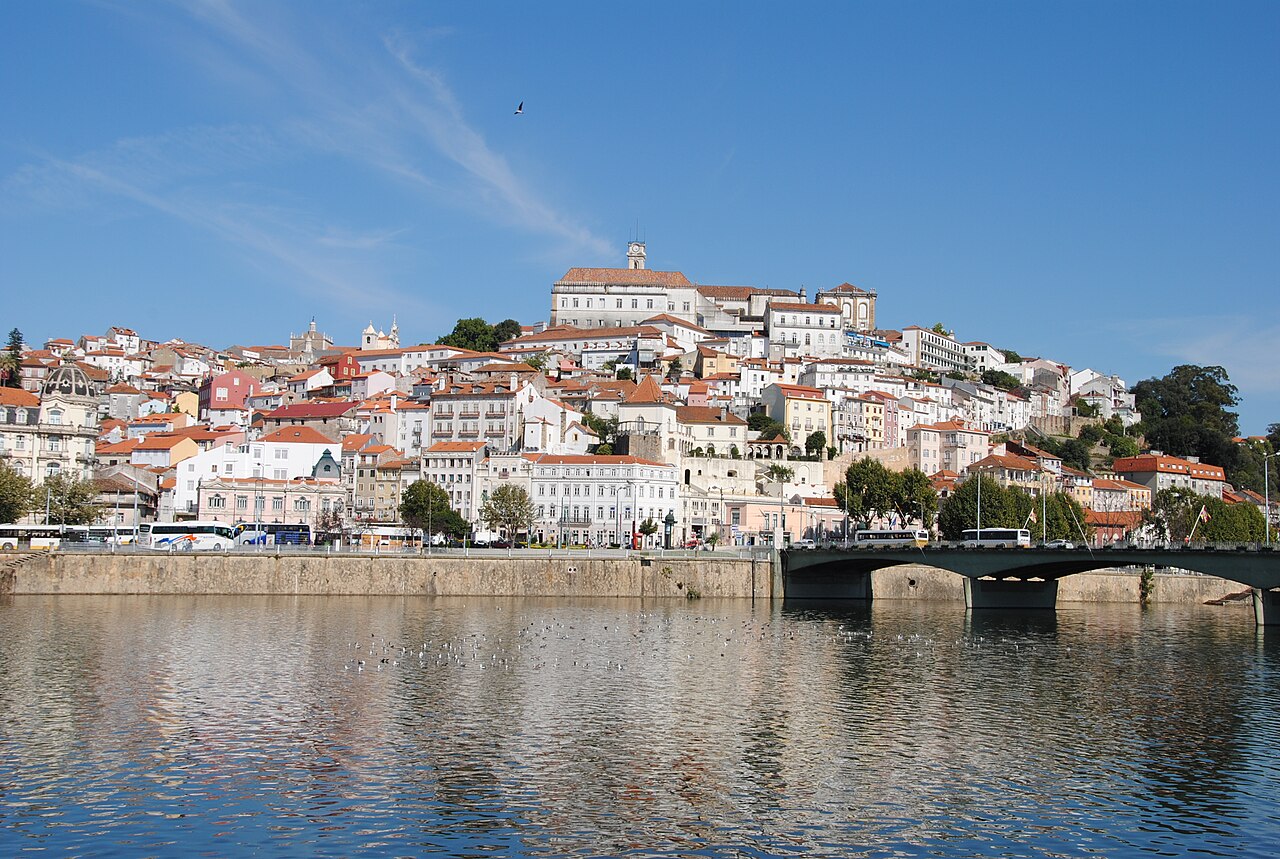
Wide river foreground, a bridge and buildings climbing the Coimbra hillside beneath a blue sky.

THE RETAINED PHOTOGRAPHIC RECORD

Geography gives context.
The photograph keeps its voice.

18 credited historical photographs are available for Coimbra. The 3D reach is a geographic overview; those photographs are not registered to exact camera positions in the scene.

Leandro Neumann Ciuffo · CC BY 2.0 · source date 2011-09-20Explore the source photographs